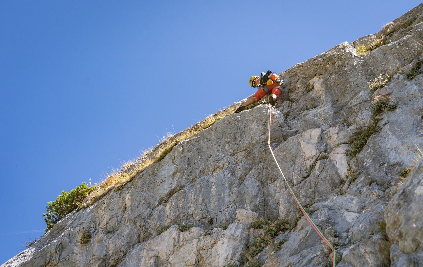
Multi-Pitch Climbing -
Wilder Kaiser
Treffauer
Difficulty
5 - 7+
Route length
130 - 280 m
Number of routes
5
Sea Level
2304 - 1900 m
GPS Position
All real-time data of the infrastructures can be found in the
fullscreen view of the interactive map
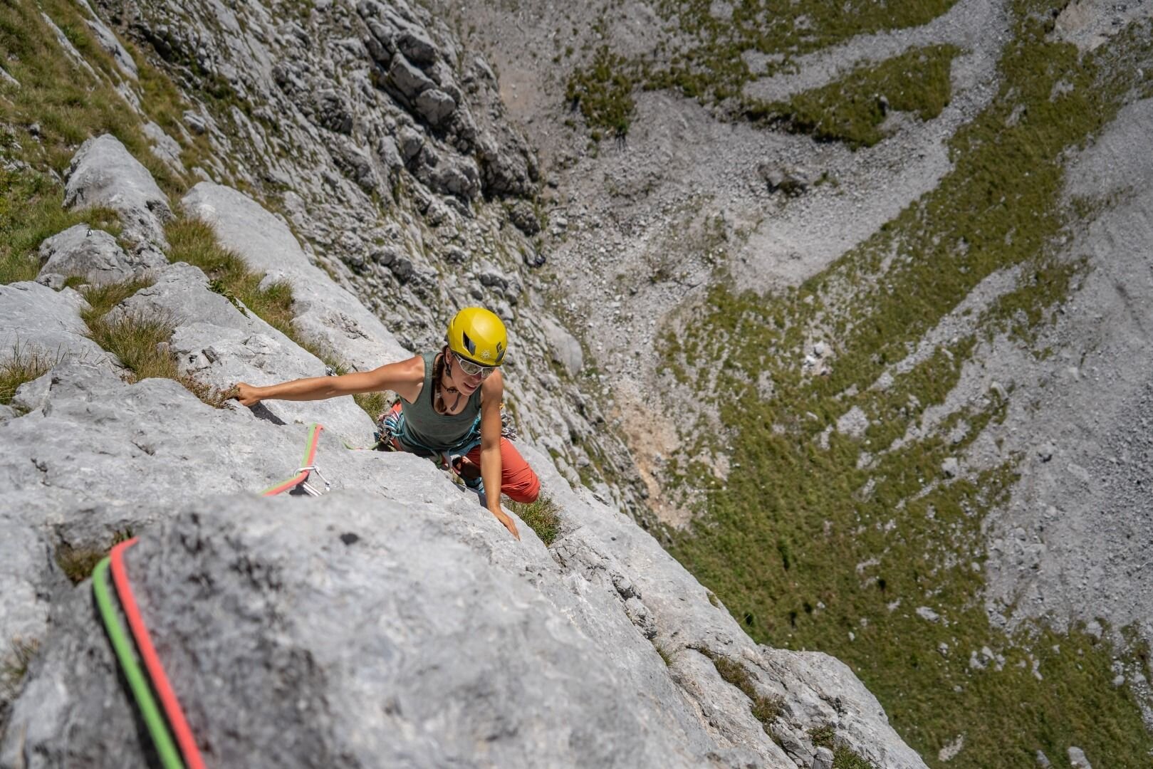
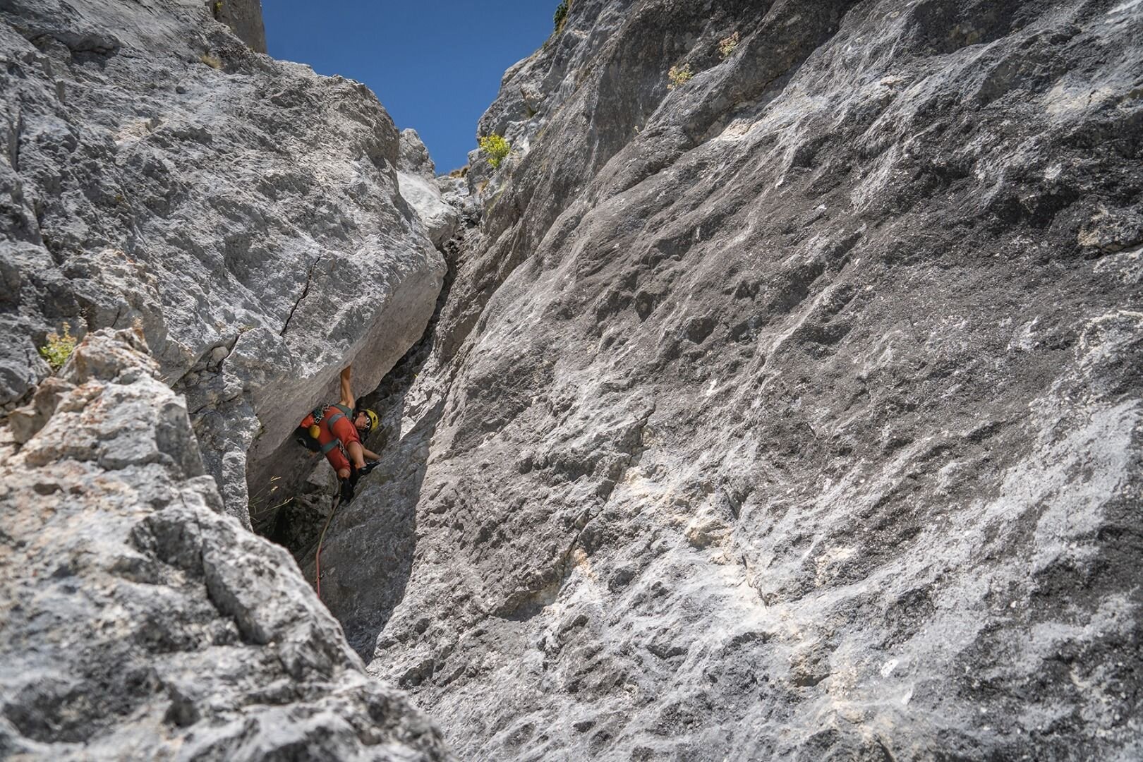
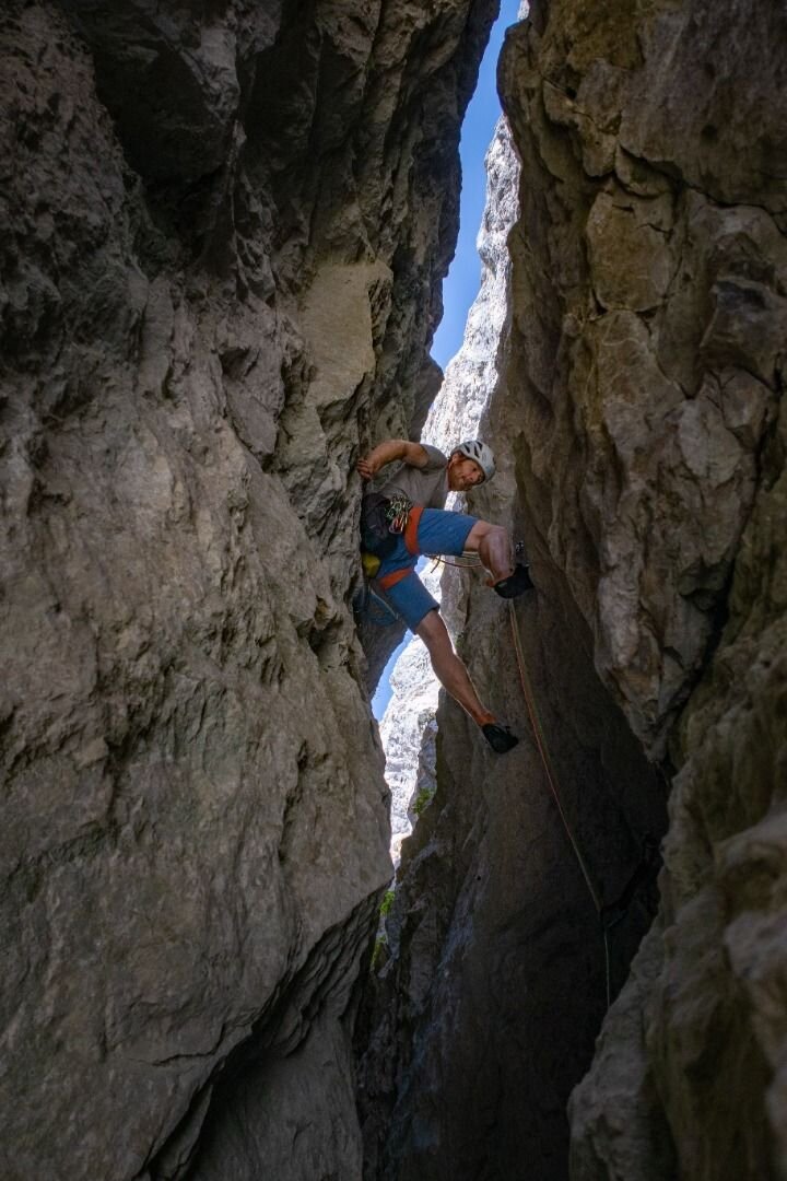
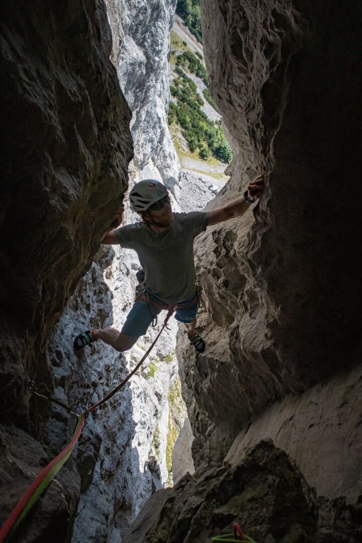
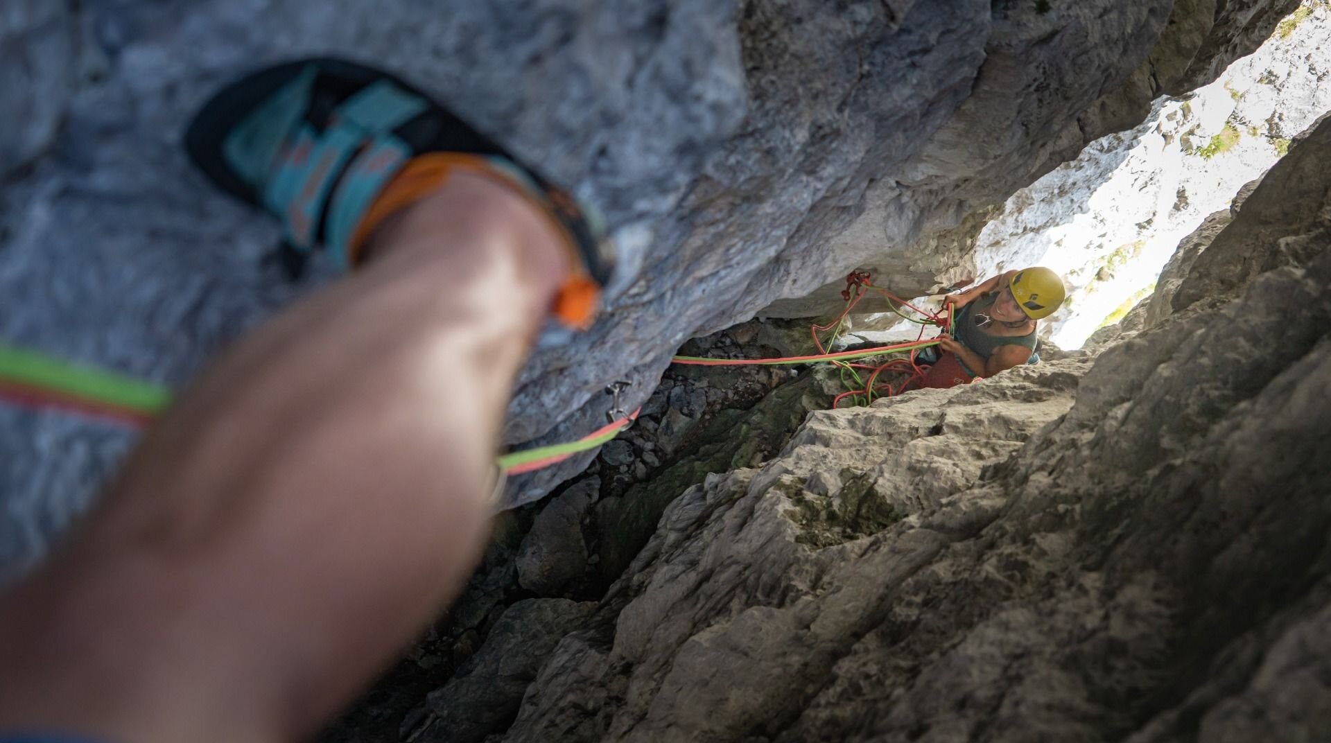
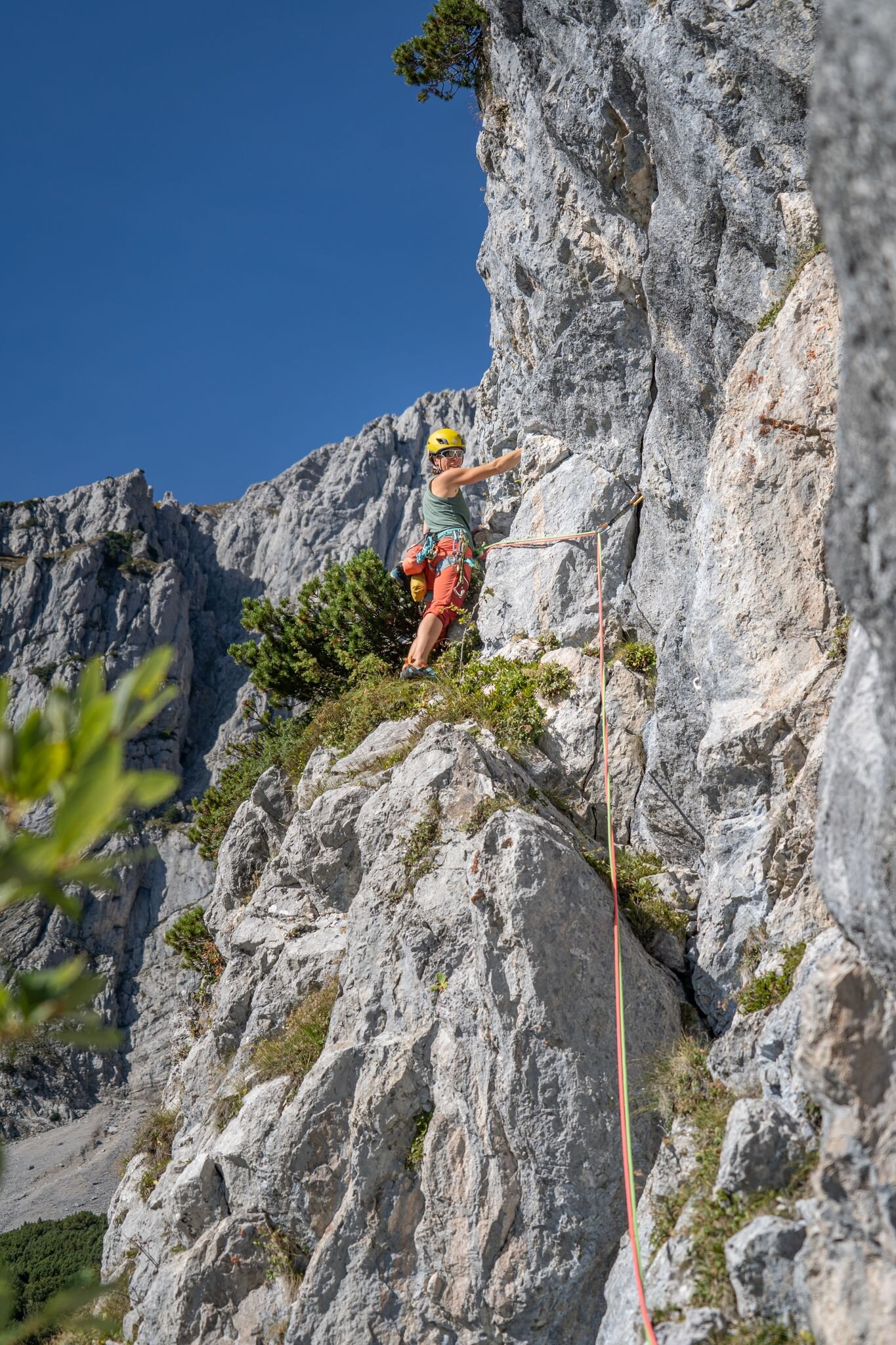
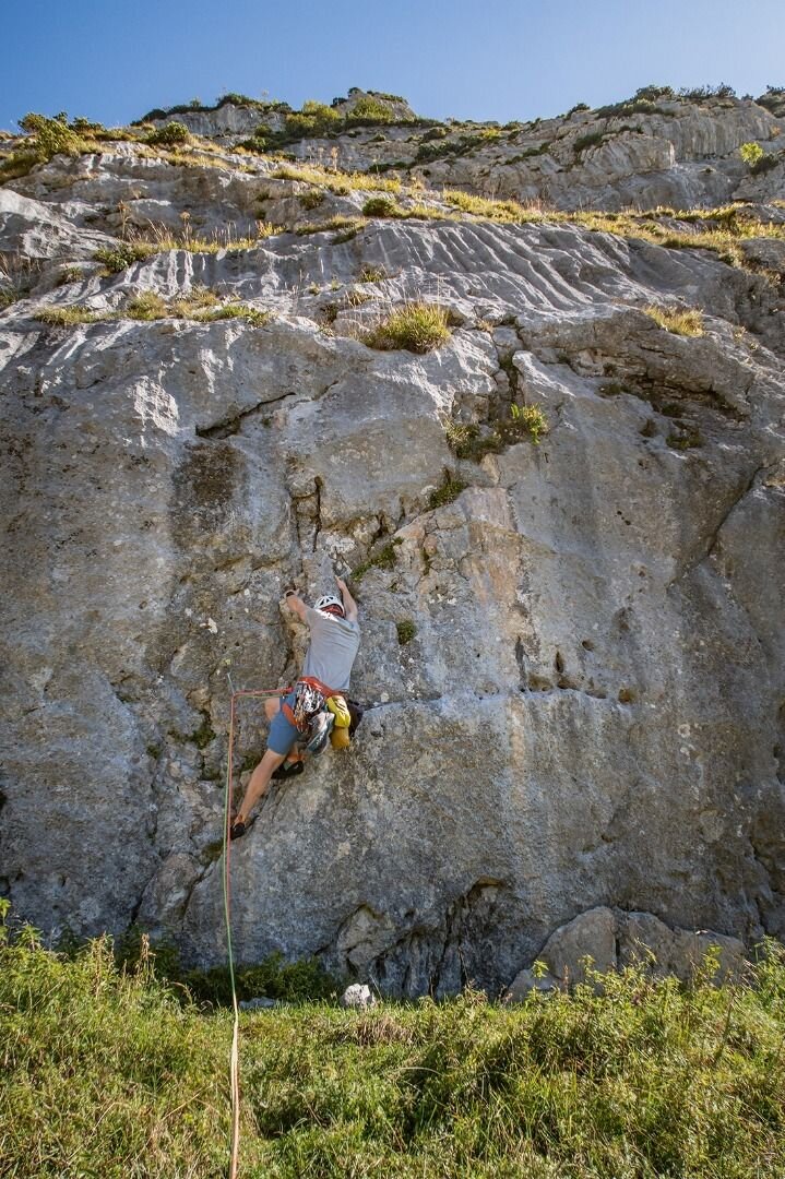
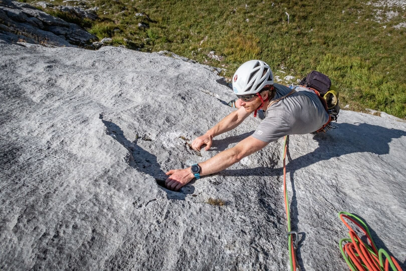
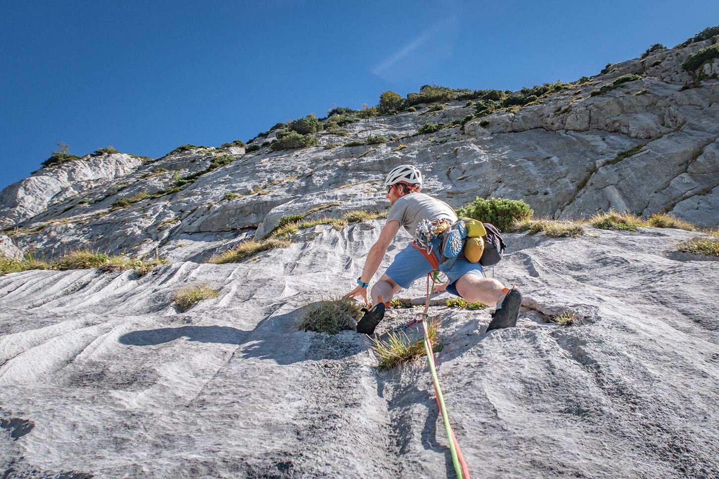
The Treffauer southwest rock face is an ideal climbing area for shorter days especially in spring and autumn. The approach rewards climbers with fantastic views to the south. The Treffauer north rock face offers plenty of pleasant, cool spots in the shade on hot summer days. Climbing tours range from difficulty ratings 4-7 and are completely secured with bolts.
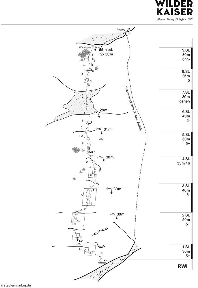
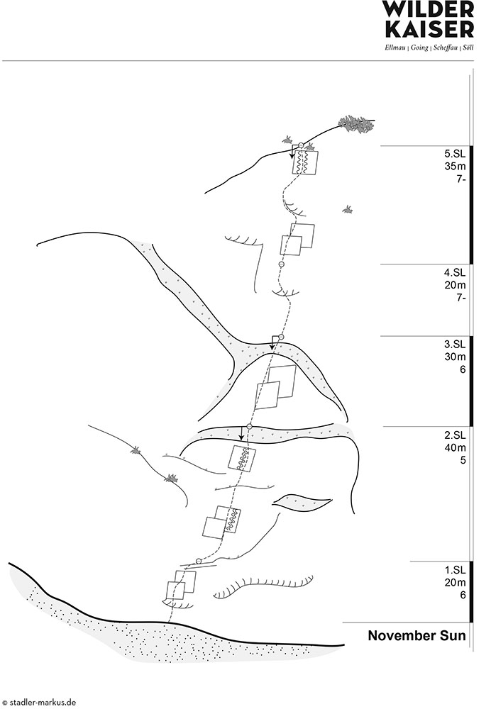
The following are three example tours. For more tours, see the "Alpin Wilder Kaiser” climbing guide by Markus Stadler (3rd edition Panico-Verlag 2021).
The following are three example tours. For more tours, see the "Alpin Wilder Kaiser” climbing guide by Markus Stadler (3rd edition Panico-Verlag 2021).
Rock
Limestone
Public transport
KaiserJet/Postbus stop “Scheffau Dorf” – followed by approx. 30-minute hike to Wegscheid car park.
More information at: www.wilderkaiser.info/mobility
More information at: www.wilderkaiser.info/mobility
Journey
Heading from Wörgl, Kufstein or St. Johann on the B178 road, take the exit to Scheffau. When you reach the Gasthof Maikircher inn located in the village of Scheffau, turn right in the direction of the Restaurant Jägerwirt inn. Follow the road until you reach the car park Wegscheid below the Restaurant Jägerwirt.
Parking
Wegscheid car park, Scheffau (883 m) – pay & display

Multi-Pitch Climbing - Wilder Kaiser | Treffauer
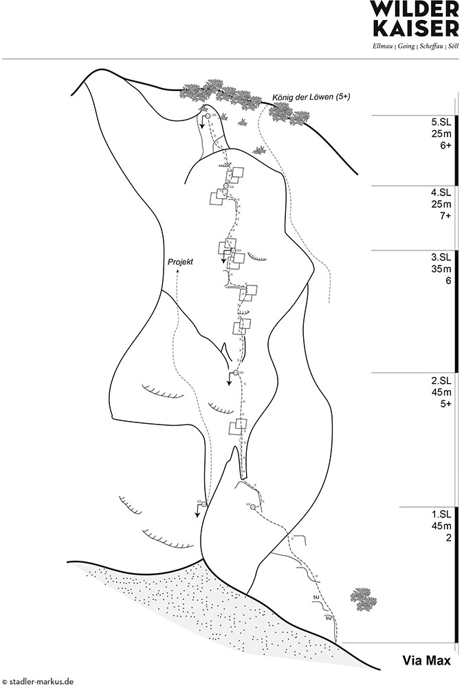
Treffauer - Südwestwandsockel
Treffauer - Südwestwandsockel
The Treffauer southwest rock face (Multerkar) is an ideal climbing area for shorter days especially in spring and autumn. The approach rewards climbers with fantastic views to the south.
Walking time approach
1:15
-
1:30 h
Exposure
W
S
SW
Best season
Jun - Nov
Number of routes
3
Routes


Multi-Pitch Climbing - Wilder Kaiser | Treffauer
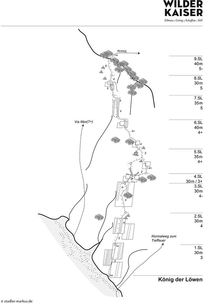
Nordwandsockel (Schneekar)
Nordwandsockel (Schneekar)
The Treffauer north rock face offers plenty of pleasant, cool spots in the shade on hot summer days. Climbing tours range from difficulty ratings 4-7 and are completely secured with bolts.
Walking time approach
2
-
2:30 h
Exposure
N
NW
Best season
Jun - Oct
Number of routes
2
Routes