E-Bike & Climb -
Paznaun - Ischgl
E-Bike & Climb - Sportklettergarten Menta Alm "Jommerwandl" Galtür
State
Locked until cancelled!
Difficulty
3
- 7
Route length
20 - 40 m
Number of routes
16
Sea Level
1657 m
Exposure
SE
Best season
May - Oct
GPS Position / Ascent
All real-time data of the infrastructures can be found in the
fullscreen view of the interactive map
Download GPX
Route overview
Level
Quantity
3
1
4
2
5
6
6
8
7
2
Wall inclination
Rock
Gneiss
Walking time approach
1
-
5 min
Total Bike & Hike duration
45 min
Altitude metres Bike
81 hm
Bike route length
1.9 km
Altitude metres Hike
50 hm
Hike route length
0.5 km
Bike & Hike route length
2.5 km
Approach Bike & Hike
From the fence directly to the right of the Menta Alm, follow the path for 1 minute - here turn right at the opening of the stone wall up into the forest. A path begins, follow this until shortly after the ‘Wasserschloß’ - then turn right at the little cairn. (7-10min)
End point bike / starting point hike
Meta Alm
Public transport
With the railway station in Landeck, the Paznaun is optimally connected to the Austrian train network. From Landeck-Zams station, only a short bus ride separates you from the Paznaun. Every half hour, line bus 260 runs from there through the valley.
Bus stop: Galtür Dorfplatz
Buses in the Paznaun valley | Region Paznaun – Ischgl
Bus stop: Galtür Dorfplatz
Buses in the Paznaun valley | Region Paznaun – Ischgl
Legend:
🄷Bike
👶
🛬Hike
easy
medium
difficult
Singletrail


E-Bike & Climb - Klettern - Climbers Paradise | E-Bike & Climb - Sportklettergarten Menta Alm "Jommerwandl" Galtür
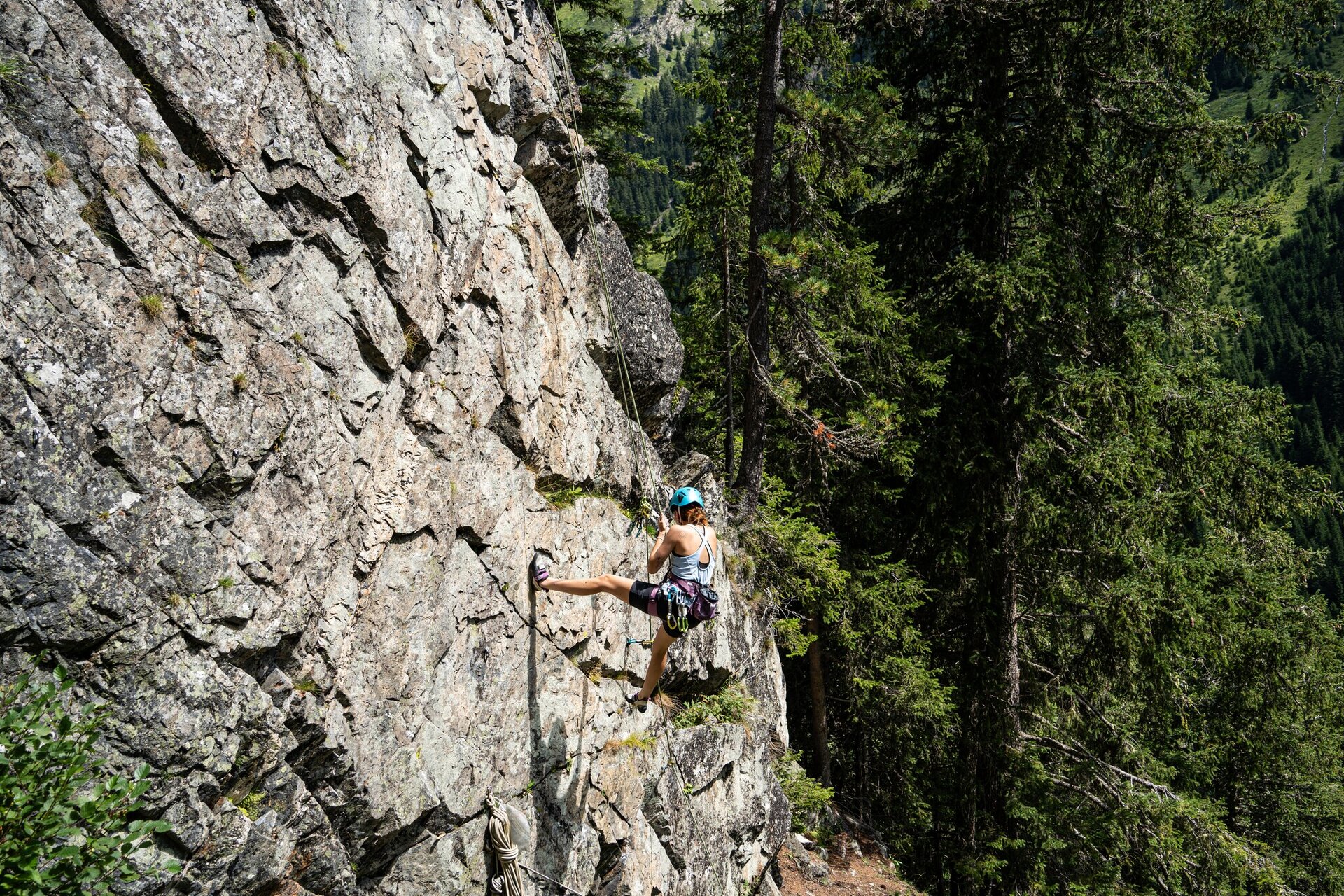
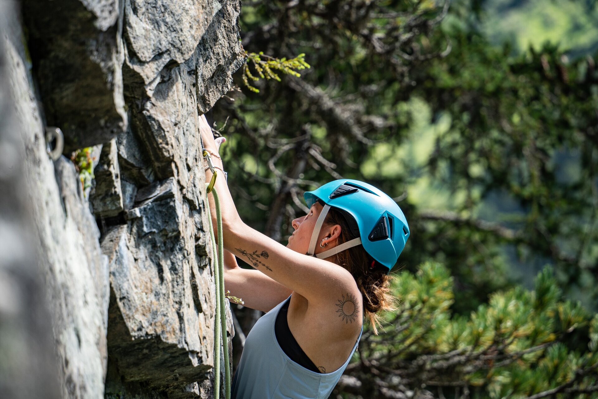
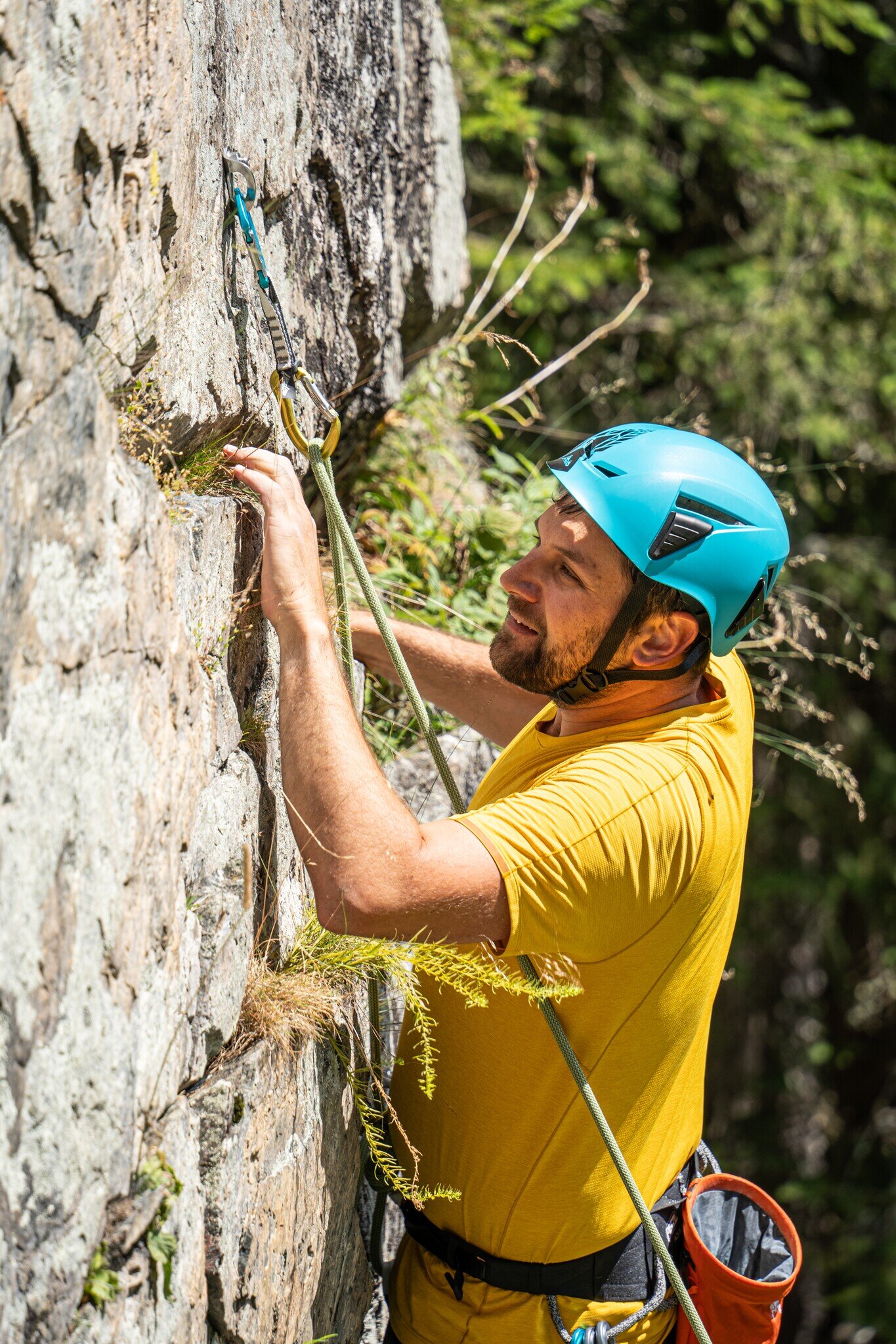
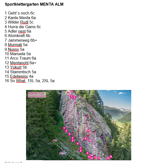
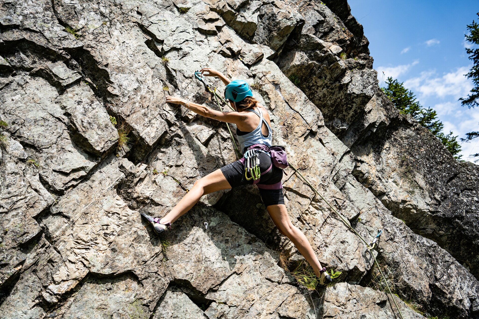
Sports climbing garden Menta Alm "Jommerwandl"
Sports climbing garden Menta Alm "Jommerwandl"
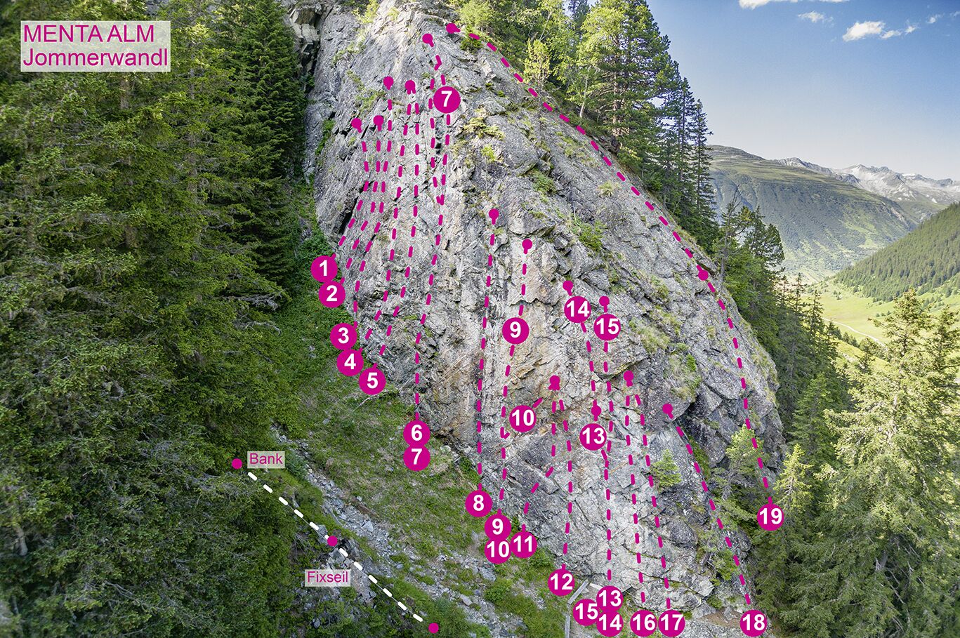
There is a new climbing garden in the beautiful alpine landscape above the Menta Alm in the Jamtal valley. The approx. 20 routes are well secured, but still need to be climbed as the rock is not completely solid in some places. Wearing a helmet is recommended.
The climbing garden is privately owned by Rudi Kurz, the landlord of the Menta Alm. Climbers are very welcome there.
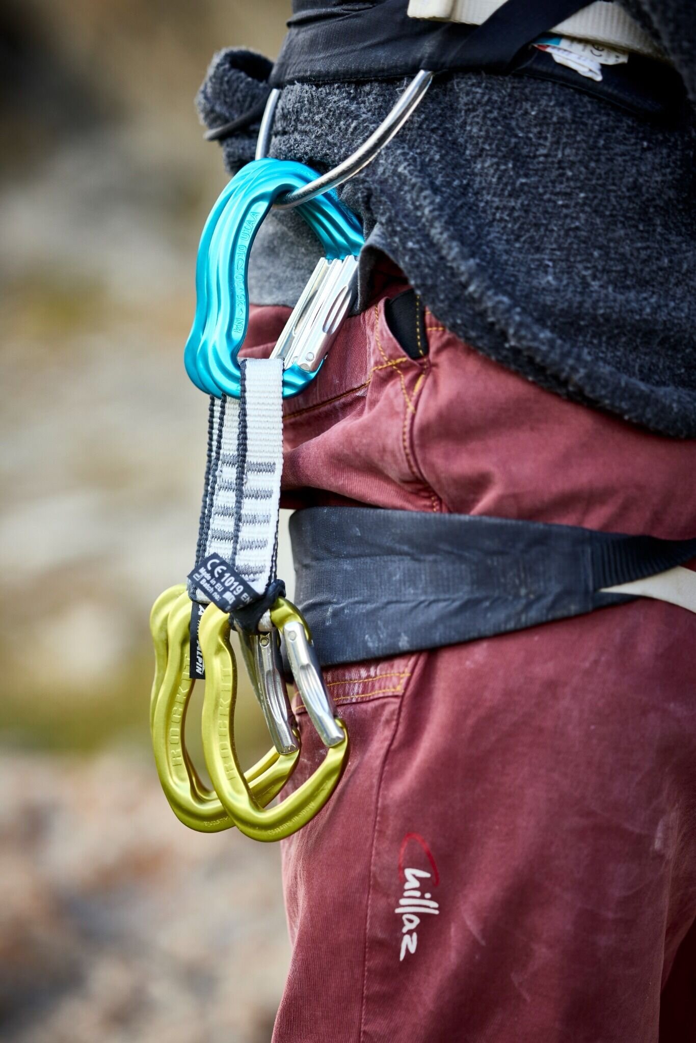
Be careful with the ropes, the rock is particularly sharp-edged. Rope length 60m
The climbing garden is privately owned by Rudi Kurz, the landlord of the Menta Alm. Climbers are very welcome there.
Be careful with the ropes, the rock is particularly sharp-edged. Rope length 60m
Route overview
Level
Quantity
3
1
4
2
5
6
6
8
7
2
Wall inclination
Rock
Gneiss
Walking time approach
7
-
10 min
Exposure
SE
Best season
Jun - Oct
Number of routes
1
Access
From the pasture fence directly to the right of the Menta Alm follow the path for 1 minute - here turn right at the opening of the stone wall up into the forest. A path begins, follow it until shortly after the "Wasserschloss" - then turn right at the cairn. (7-10min)
Public transport
With the railway station in Landeck, the Paznaun is optimally connected to the Austrian train network. From Landeck-Zams station, only a short bus ride separates you from the Paznaun. Every half hour, line bus 260 runs from there through the valley. Bus stop: Galtür Dorfplatz
Journey
The autoroute (A12 (westbound) or A14 (eastbound)) leads you to the Arlbergschnellstraße (S 16). At the exit for Pians, turn onto the Paznauntalstraße (B 188) and follow its course into the Paznaun.
Parking
about 200m after the Meta Alm there is a parking lot
Routes
Sportklettergarten Menta Alm "Jommerwandl"