Wolfskehr - Kaunertal
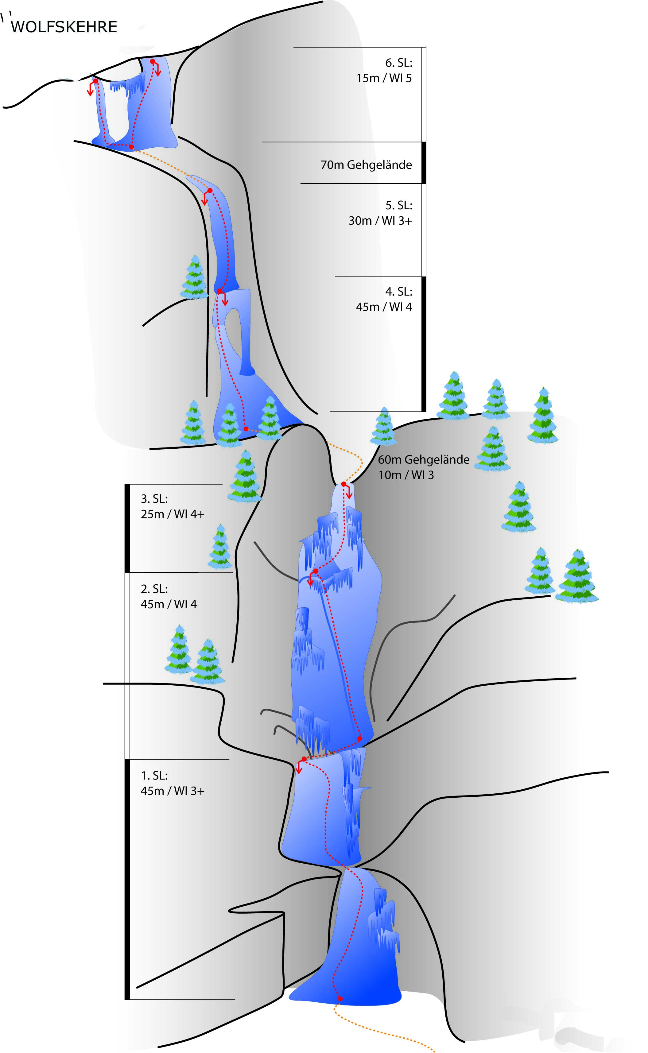
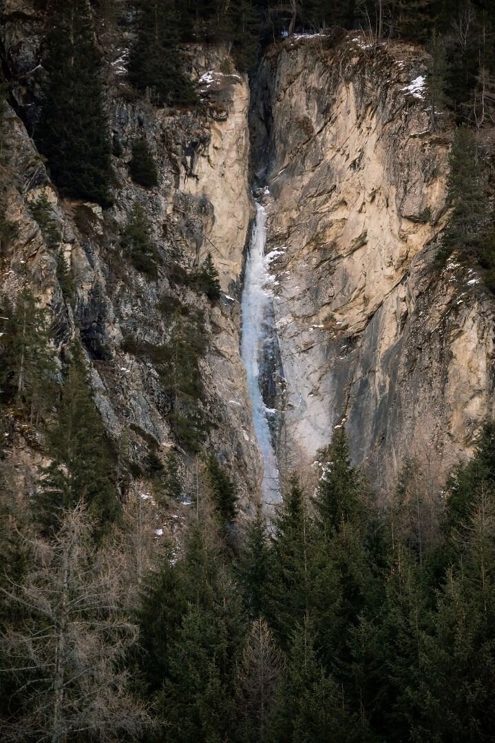
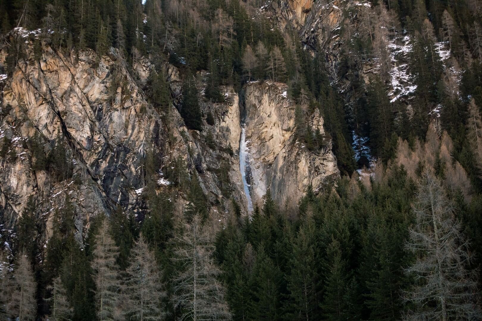
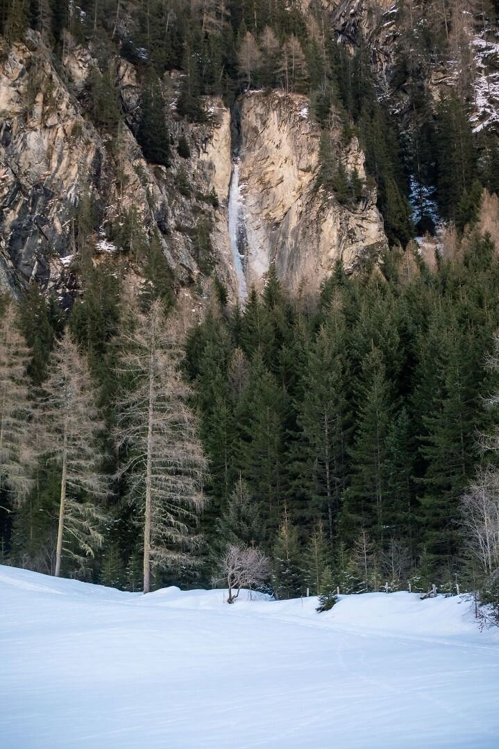
Similar to the Gsallbachfall, this stunning waterfall drapes over several deep rock ledges through an impressive canyon. High risk of wet avalanches in springtime.
Approach: Wolfskehr hamlet almost 2 km after the toll station.
Ascent: Follow the edge of the meadow on the orographic right of the brook Masatschbaches to the top, then follow the river bed ca. 20 m to the entrance (15 min).
Descent: Step out to the right of the river bed in the climbing direction (orographic right), keeping left, descend/climb down the steep chute leading bach to the approach.
Das Kaunertal ist am besten über die Inntalautobahn zu erreichen (Umfahrung Landeck). Ins Kaunertal bis zur Mautstelle fahren. 2 km nach der Mautstelle ist ein Bauernhof - der sogenannte Wolfskehr. Parkmöglichkeiten je nach Schneelage.
Weiter taleinwärts bis links ein Forstweg abzweigt, diesem Weg folgen. Nach dem Zaunende, rechts dem Bachbett entlang bis zum Einstieg des Eisfalles.