Via ferrata Allmaier Toni via ferrata route

open
Amlach / Lienzer Dolomiten
Exposition: NE
B/C

Information

Ascent Time3:30 h
Walking time descent2:30 h
Time Climbing1:30 h
DifficultyB/C

Via Ferrata Altitude Difference

279 m
Sea level starting point2539 m
Sea level approach2260 m
Sea level highest point2520 m

Approach

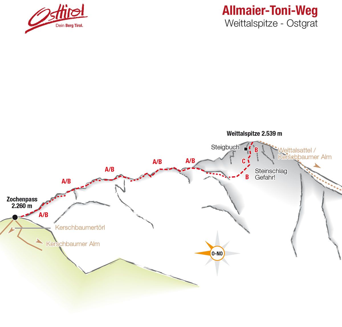
Starting point gorge bridge – to the Kerschbaumeralm bothy – continuing to Zochenpaß, where the path begins.

Descent

Via 'Hans-Falkner Weg' (standard route) to Weittalscharte – Kerschbaumeralm-bothy – gorge bridge.

Best time of year

  • January
  • February
  • March
  • April
  • May
  • June
  • July
  • August
  • September
  • October
  • November
  • December

Description

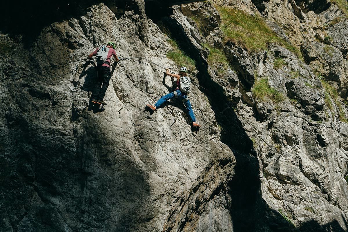
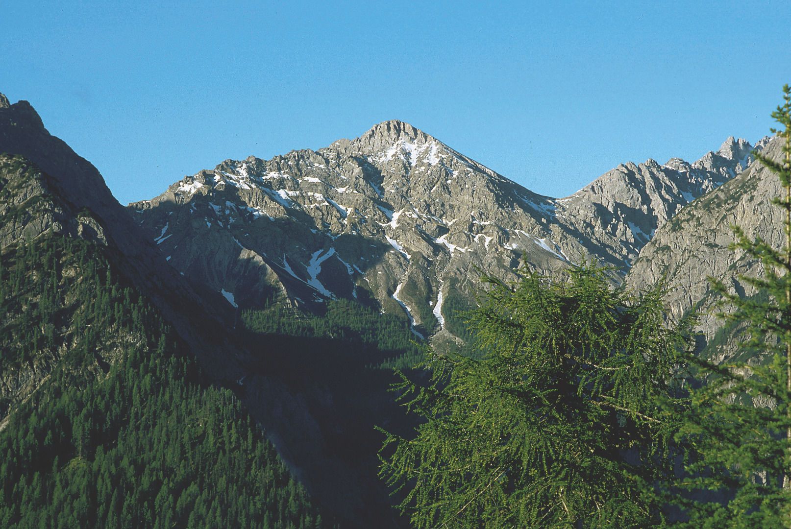
Lovely via ferrata route on the jagged eastern ridge of the Weittal summit. The trail is well signposted (red dot with a blue edge). The initial flatter section is somewhat easy and ends at the so-called 'Barbaraplatzl'. In the following, steep rock face (difficult) you finally come to the key point in the shape of a smooth ledge. 

Upholder: AlpinPlattForm Lienz


Weather

Today

partly Cloudy
14°C/1°C
60%1.2l5 km/h

Thu

clear sky
14°C/3°C
0%0l5 km/h

Fri

clear sky
12°C/2°C
0%0l5 km/h
Go to weather forecast

Getting here

  • Parking

    Von Lienz ausgehend fährt man nach Gries und ca. einem Kilometer verlässt man die Drautal Bundesstraße in Richtung Süden. Der Straße folgt man bis zum Parkplatz bei der Klammbrücke. Zu Fuß geht's dann weiter über das Kerschbaumeralm-Schutzhaus bis zum Zochenpaß, wo der Steig beginnt.

    Der Abstieg erfolgt über den Hans-Falkner-Weg.


    Parkplatz Klammbrückl
  • Contact

    Klettersteig Allmaier-Toni-Weg
    ****

More via ferratas

  • Glödis via ferrata route

    Opening hours:open
    Difficulty:BExposition:SE
    Duration:1:00 hDuration:4:00 hElevation difference:230 m